
I am a biology teacher of 33 years at North Shore Technical High in Middleton Massachusetts.
Today was day one of four in our marine studies. My goal for this course is to use its content and constructs to integrate into a unit on coastal field biology into the curriculum of a year long field based class that I've been teaching for nearly twenty years. I have been dissatisfied with the limited instructional content and quality of my current curriculum field component for marine science and I am looking forward to improvements and the greater use of technology in my program. One of my thoughts is to have the blogger as a class requirement for all of my student to maintaining a record of what was learned and to write a reflection on their class experiences regularly. It is my intent to use this blog as a means to record field notes and studies with as much detail as possible with the hope that as I add to my blog it will morph into some form of instructional tool or product.
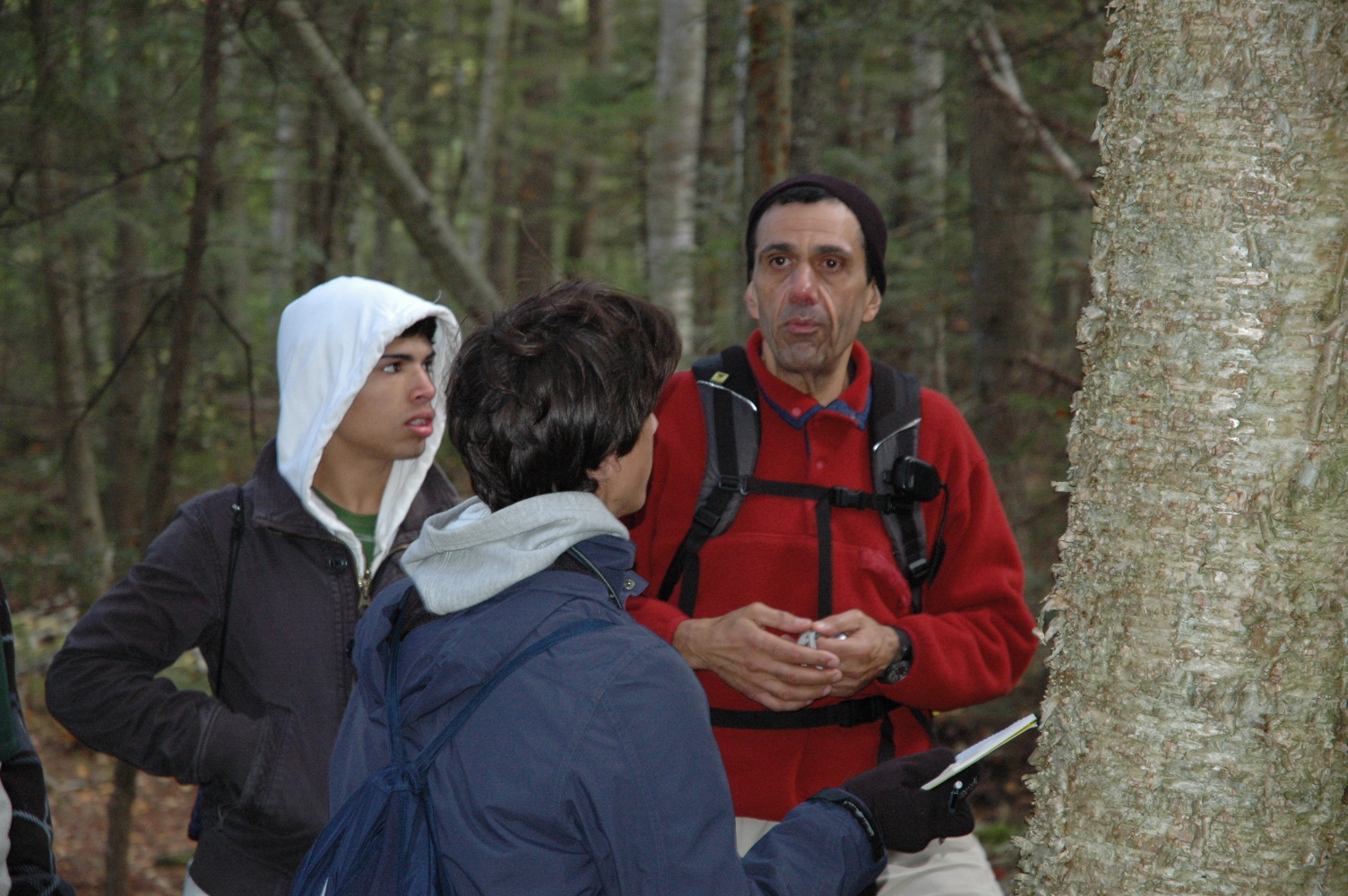
Today our class visited Sandy Beach State Reservation, in spite of rain (lots at times), which is located at the southern end of Plum Island which most of which is a federal wildlife reservation. We explored the geology, fauna and flora of the dunes by walking in animal "highways" through the dunes to the tidal flats. We were fortunate to have the State Field Educator Mr. Gary Darwin guiding and instructing us.
The geology of The Plum Island Barrier Beach region includes numerous drumlins which were formed ~12,000 years ago when the Wisconsin Glacier retreated. They are primarily composed of glacial till and vary in size but appear long and narrow with tapering toward the ends. On average they appear to be from 100 to 200 feet high with lengths of a few hundred yard long. The barrier beach is formed my shifting sands that are moved by currents and winds. The sand it self is formed by erosion of the land and in general it is washed out and moves north to south with the local currents. Blowing sands are caught up on sand grasses which adds to the dunes, with the addition of more grass and more sand over time the dune continue to build. However the dunes are also very fragile and subject to erosion from rising tides and storms surges. Most sand is composed of quartz and silicon but locally one can also find garnet (semiprecious mineral) and a magnetic mineral call magnetite. The drumlins in this cases appears to create anchoring points on the ends which seem to aid in the formation of the barrier beach.
Fauna Identified on the dunes:
Red tailed Fox (tracks)
Coyote (tracks and scat)
Deer (tracks)
Beach Swallows
Flora on the Dunes:
Bayberry
Beach Heather
Beach Pea
Poison Ivy
Beach Plum
Beach Cherry
Beach Rose
Spartinia
Fragmities
Lichen-Fruticose, Crustose, Foiliose
Dusty Millar
On the Beach:
Hoarseshoe Crab Limulus sp.
(blue blood-medical testing for sterility-clots with in contact with bacterium, males clasp on to female until eggs are fertilized-sometimes for weeks)
Mussel with byssall treads that are used for anchoring
Crabs- Asian, Green, Rock
Periwinkles
Tomorrow we will investigate the Isles of Shoals and Smutty Nose Island, This region is a rich feeding ground for plankton to Cod to Whales. This is the result of the upwelling of nutrients from the bottom which is caused by the movement of cold water currents along the bottom until it hits a ridge that forces the water to rise from the bottom. The nutrients in this water feed the phytoplankton which is food for the zooplankton, which feeds typically mackerel and herring on up the food chain. The islands in this region were formed by plutons of lava but were also largely influenced by glaciation.
Until tomorrow.

No comments:
Post a Comment